Our Portfolio
For City Authorities

EXTREMA Global Mobile App
Multilingual, city customised mobile app working seamlessly worldwide. It supports multiple profiles and special feautures.
Learn More
City Dashboard
Central management of Heatwave events. An information management tool is provided to the City officials for the management of the cooling spaces.
Learn More
Cool Routes
Provision of alternative walking routes in the city via the mobile app through shaded streets, via cooling spaces or drinking water spots.
Learn More
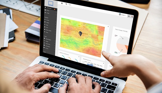
Planning and Analytics
Where is the vulnerable population? How hot is there? Are there enough cooling spaces for them? Where was the app mostly called from? Get an exhaustive report for your city .
Learn More
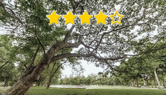
Rating and Review
Find out what citizens think about the cooling spaces that the City provides. Were they able to relief them from heat? Did they find it easily? Was the accommodation proper and as expected?
Learn More
Intra-urban temperature variability
Plan actions and services around the city based on high resolution map with hot spots based on summer temperatures from the last five summers.
Learn More
Bike Routing
Cyclists request to reach their destination safely, via designated bike lanes as much as possible. Provision of 3 routes: the shortest, coolest and via bike lanes. Add-on or separate software service.
Learn More
Air Quality
Mobile app add-on. Get the current air quality index for the city based on Copernicus Air Monitoring Service and get recommendations for your outdoor activities, safety measures.
Learn More